
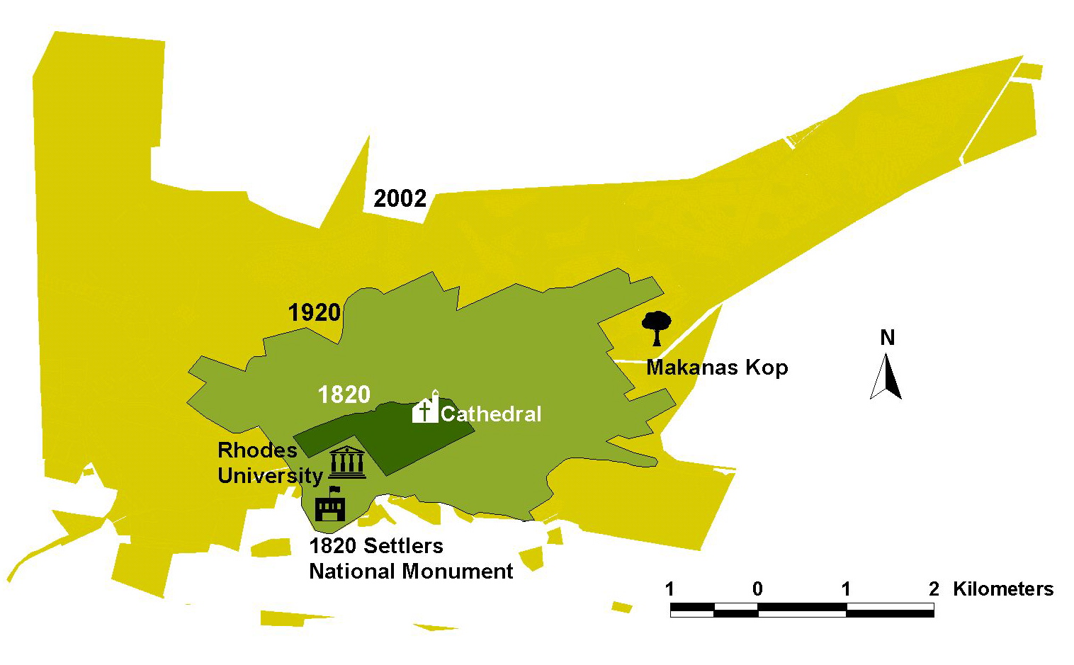
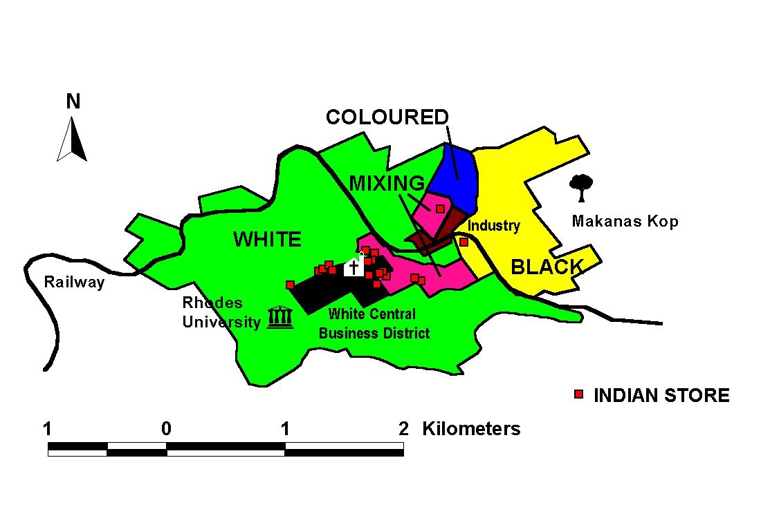
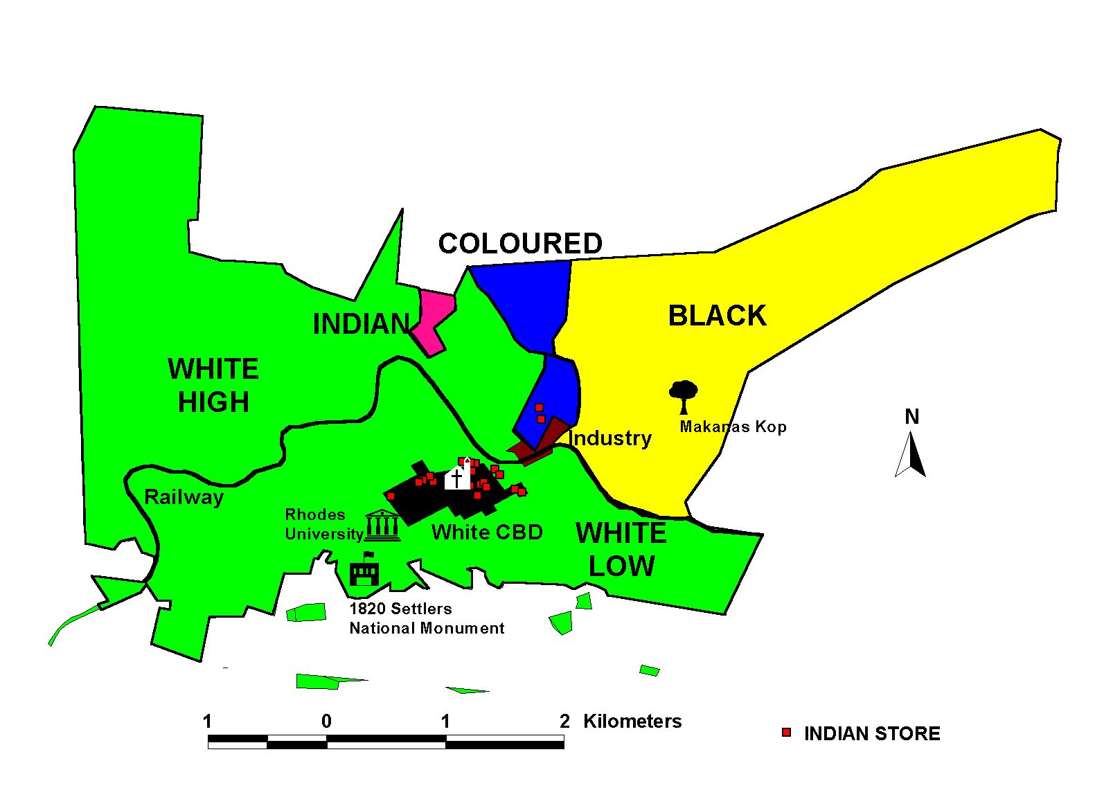
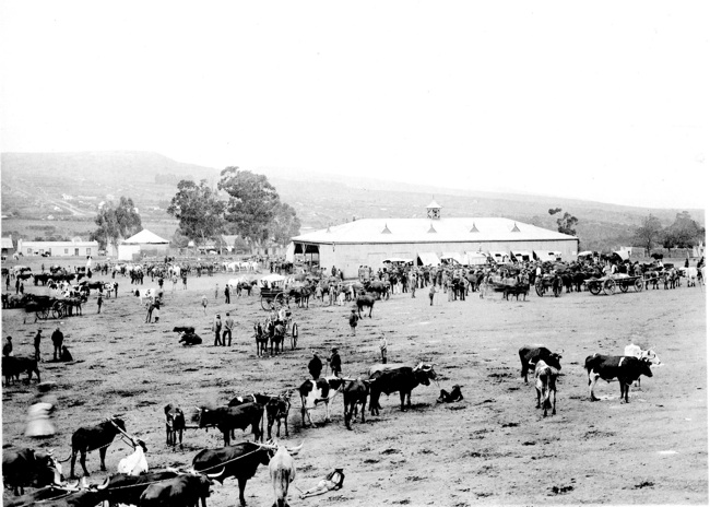
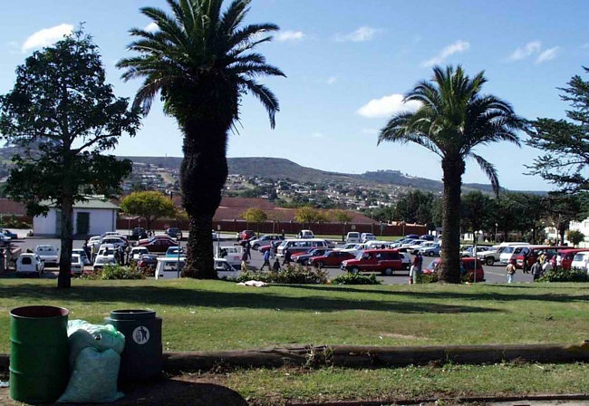
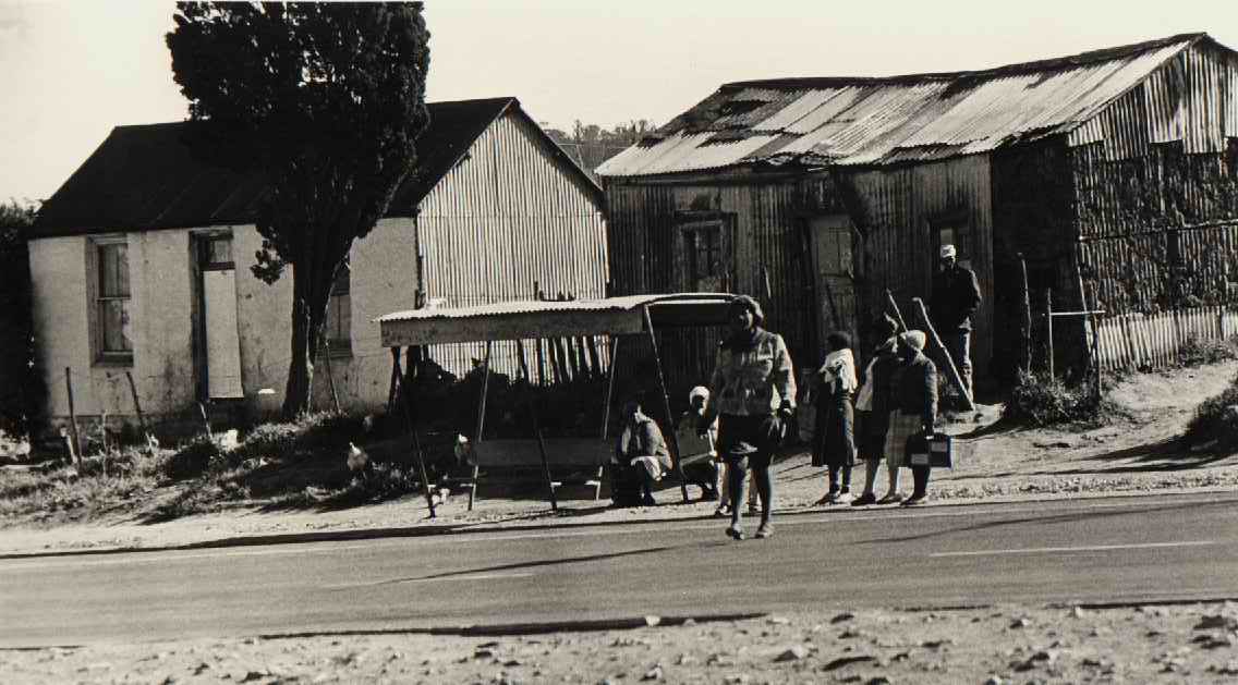
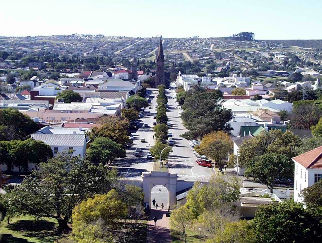
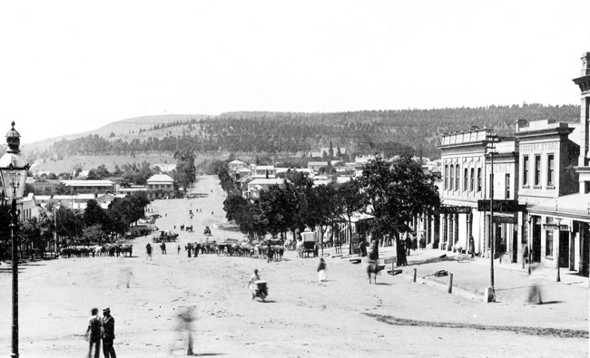
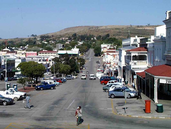
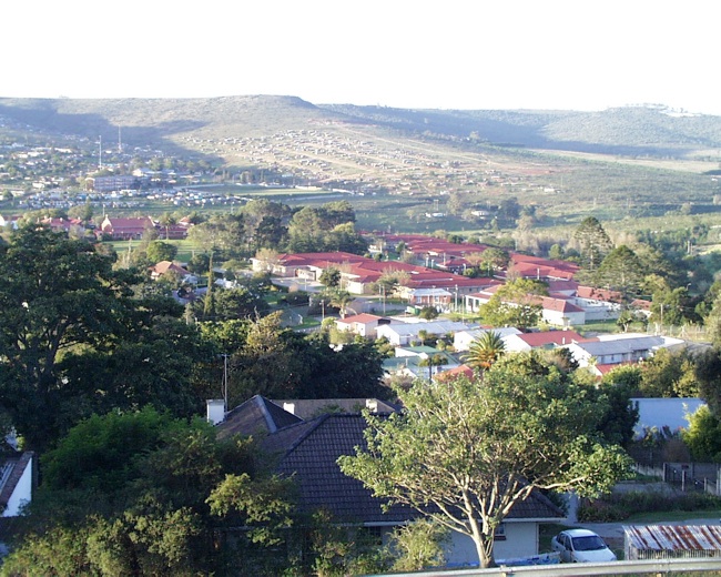
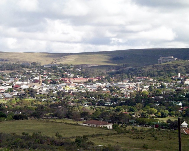
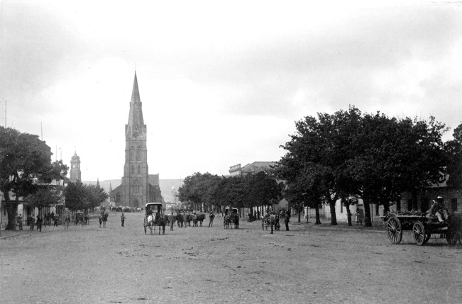
I used to have a website devoted to Grahamstown’s urban geography before Apple wrote off Mobile Me and support for iWeb. It described how the city grew, showed the segregation and apartheid areas and had pairs of photographs showing how the city has changed. All of those images are now in the gallery below. The Excursion Guide 2009 gives more explanation about the city, it is what we use when taking undergraduates around the town.
There’s a nice selection of the Grahamstown pictures that I have exhibited at the National Arts Festival over at my online portal roddythefox.co.za.


Reblogged this on Roddy's Courses.