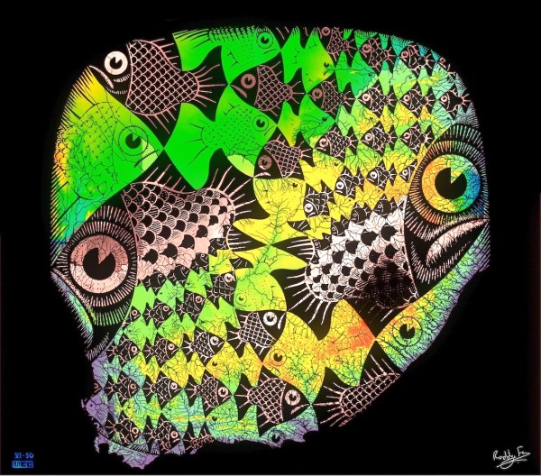
I've really found Escher's work to be inspirational and it's so nice to be able to take it into a new dimension. I re-imagined Escher's Butterflies in one of my earlier posts and now I've finished mapping the whole continent's rivers I've been able to realise a new, more complete, look for the idea. Escher's... Continue Reading →
The Fish and Scales Topographic Map of South Africa
MC Escher produced his famous Fish and Scales print in 1950 - at the same time as The Butterflies. And so, following on from my re-imagination of The Butterflies in yesterday's post, I've used the same method to produce the Fish and Scales Topographic Map of South Africa. You should be able to pick out... Continue Reading →
MC Escher’s Butterflies Print Re-imagined
MC Escher's work has always amazed me with the way he transforms reality: peeling it away in layers to reveal new structures and perceptions. Lately I've begun to wonder if I couldn't use one of his prints - The Butterflies - to blend his work with how Geographers use Geographic Information Systems to portray the... Continue Reading →